

Precipitation On Niwot Ridge
Over the past 70 years, precipitation on Niwot Ridge shows high interannual variability, with no significant trend in annual precipitation across the subalpine record. In the alpine, a step increase in precipitation occurred in the 1980s, reflecting a decadal shift in atmospheric circulation (Kittel et al., 2015). After this change is taken into account, there is no significant trend in annual precipitation across alpine record. Seasonal precipitation over the recent decades tells a different story: winter precipitation has been higher than average and summer precipitation has been lower than average. To learn more, explore our long-term alpine precipitation records, visualized below.
Long-term Alpine and Subalpine Precipitation Records
The figure below visualizes yearly precipitation totals measured from 1952 through the present at climate stations in the subalpine (green) and alpine (blue).

Alpine Precipitation Anomalies by Year and by Season
The figures below visualize how yearly (left) and seasonal (right) precipitation deviates from average across the Niwot Ridge alpine precipitation record.


about Precipition Data from Niwot Ridge
Climate Stations:
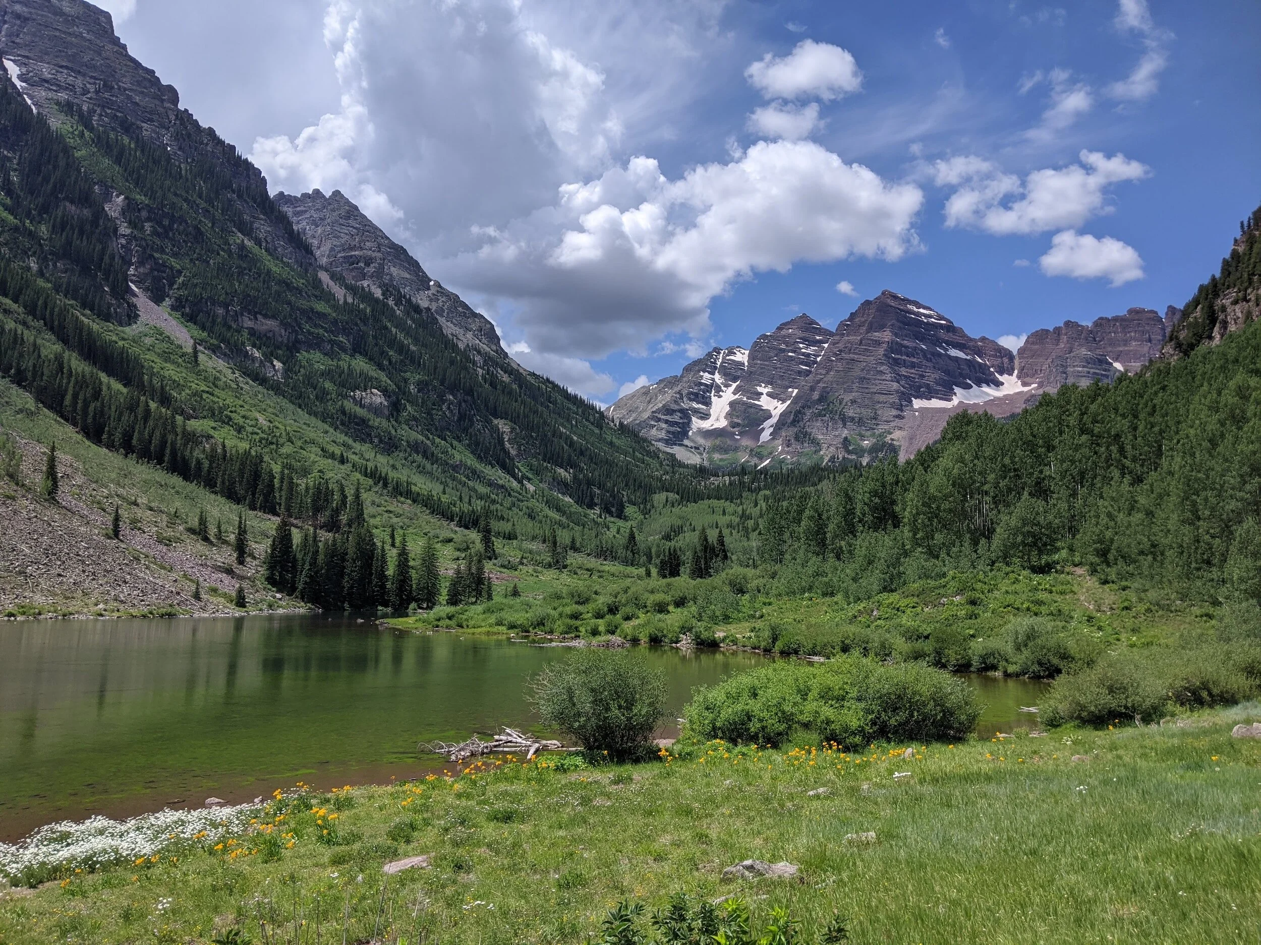
The Niwot Ridge LTER collects and curates long-term precipitation records from climate stations above treeline in the alpine and below treeline in the subalpine. The subalpine climate station (C1, Figs. 1 and 2) is located on locally level terrain on the southeastern flank of Niwot Ridge, 6.0 miles (9.7 km) east of the Continental Divide. The elevation of the subalpine climate station is 9,915 ft (3,022 m), and the surrounding vegetation is closed-canopy subalpine conifer forest. The alpine climate station (D1, Figs. 1 and 3) is on a narrow, exposed ridge on the westernmost part of Niwot Ridge, 1.6 miles (2.6 km) east of the Continental Divide. At an elevation of 12,267 ft (3,739 m), this alpine station is the highest continuously operating weather station in North America. Surrounding vegetation is low-stature alpine trundra. While the Niwot Ridge LTER also collects long-term precipitation records at other sites (including from the Saddle, Fig. 1), the data visualized on this page are from the subalpine and alpine climate stations.

Figure 1: Climate stations of the Niwot Ridge LTER. Blue stars indicate the location of the subalpine (C1), Saddle, and alpine (D1) climate stations.

Figure 2: The subalpine (C1) climate station on Niwot Ridge.

Figure 3: The alpine (D1) climate station on Niwot Ridge.
Instrumentation and Data Collection:
Long-term precipitation data have been collected at the subalpine and alpine climate stations almost continuously from 1952 to the present. At the subalpine (C1) climate station, precipitation was recorded through 1964 using an unshielded U.S. Weather Bureau standard totalizing gauge, with observations manually recorded on an approximately weekly basis. The gauge was located in an open area with sparse tree cover adjacent to the forest proper. Starting in late 1961, daily precipitation has been recorded using a Belfort Universal weighing-bucket gauge with chart recorder in an 8-m diameter clearing in the forest (Figs. 5 and 6); the forest provides natural shielding for the gauge. The two records were assessed for an impact of this station change on record homogeneity and merged.

Figure 5: The Belfort Universal weighing-bucket gage at the subalpine (C1 ) climate station. Photo by Gabriel de la Rosa.

Figure 6: The chart recorder inside the Belfort Universal weighing-bucket guage at subalpine (C1) climate station. Photo by Gabriel de la Rosa.
At the alpine (D1) climate station, precipitation was also recorded through 1969 using an unshielded U.S. Weather Bureau standard totalizing gauge, with observations manually recorded on an approximately weekly basis. Starting in 1965, daily precipitation has been recorded using a Belford Universal weighing-bucket gauge with chart recorder and with an Alter-type shield encircled by a single fence that is similar to the fences used in Double Fence Intercomparison Reference gauges (Figs. 7 and 8). Overlap in the two records was used to adjust the totalizing gauge record so that it could be merged with the weighing-bucket gauge record. For both subalpine and alpine precipitation records, missing daily data were infilled and multiday records were parsed to dailies.

Figure 7: The Belfort Universal weighing-bucket gage at the alpine (D1) climate station. Inside the gage is a chart recorder. Surrounding the guage is an Alter-style shield enclosed by a single snow fence. Photo by Sammy Yevak.

Figure 8: The alpine (D1) precipitation guage surrounded by a snow fence. Photo by Sammy Yevak.
How To Cite Figures and Data On this page
The Niwot Ridge LTER welcomes your use of the figures on this page when accompanied by the following citations:
Subalpine Precipitation Figures and Data:
Kittel, T., C. White, M. Hartman, K. Chowanski, T. Ackerman, M. Williams, M. Losleben, and M. Moore. 2024. Infilled daily precipitation data for C1 chart recorder, 1952 - ongoing. ver 7. Environmental Data Initiative. https://doi.org/10.6073/pasta/bdb20120e59c7685aea1d6197e6b2aba.
Alpine Precipitation Figures and Data:
Kittel, T., C. White, M. Hartman, K. Chowanski, T. Ackerman, M. Williams, M. Losleben, and M. Moore. 2024. Infilled daily precipitation data for D1 chart recorder, 1952 - ongoing. ver 5. Environmental Data Initiative. https://doi.org/10.6073/pasta/1926c66ba90ba9ee2e3a241940c5c418.
Click on the above links to further explore Niwot Ridge precipitation data packages, which are hosted on the Environmental Data Initiative Data Portal. Data packages include detailed information about where and how Niwot Ridge precipitation data is recorded and processed.
Contact Us
If you have questions about the data presented on this page, please email the Niwot Ridge LTER. To learn more about research, education, and outreach conducted by the Niwot Ridge LTER, please visit our website.